- NGS PID:
- LY2401
- Coordinates:
- N 41.9631° W 75.583317°
- Location:
- Elevation:
- 926.57 ft.

- Type:
- Vertical Control Mark
- Setting:
- Bridge Pier
- Year Established:
- 1982
- Established By:
- NGS
- Status:
- Recovered
- Condition:
- Good as of April 3, 2015
- Official Description: NGS Datasheet
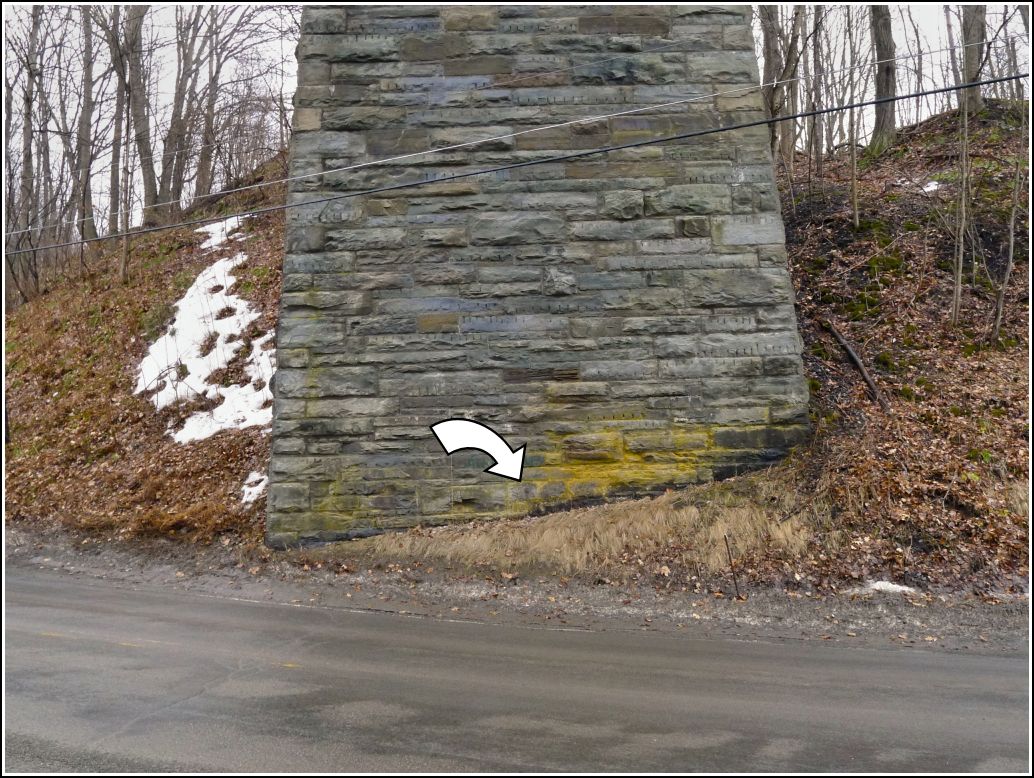
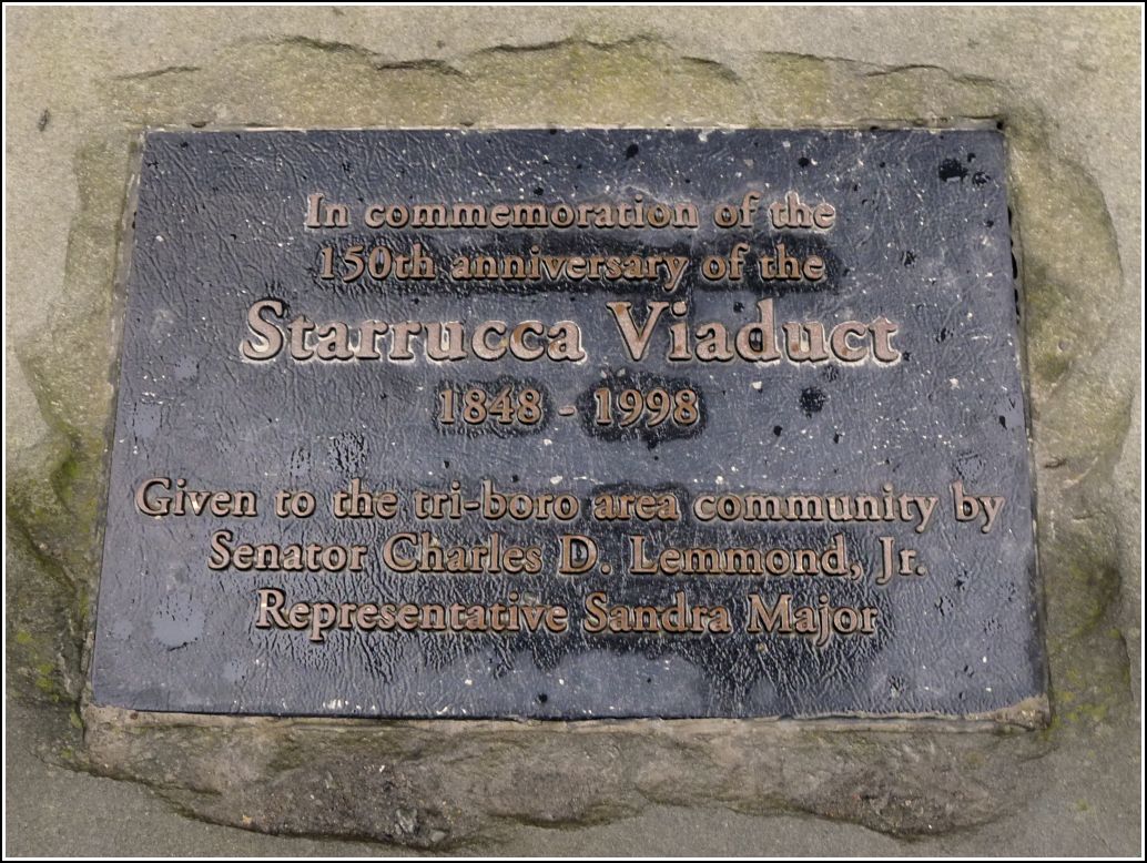
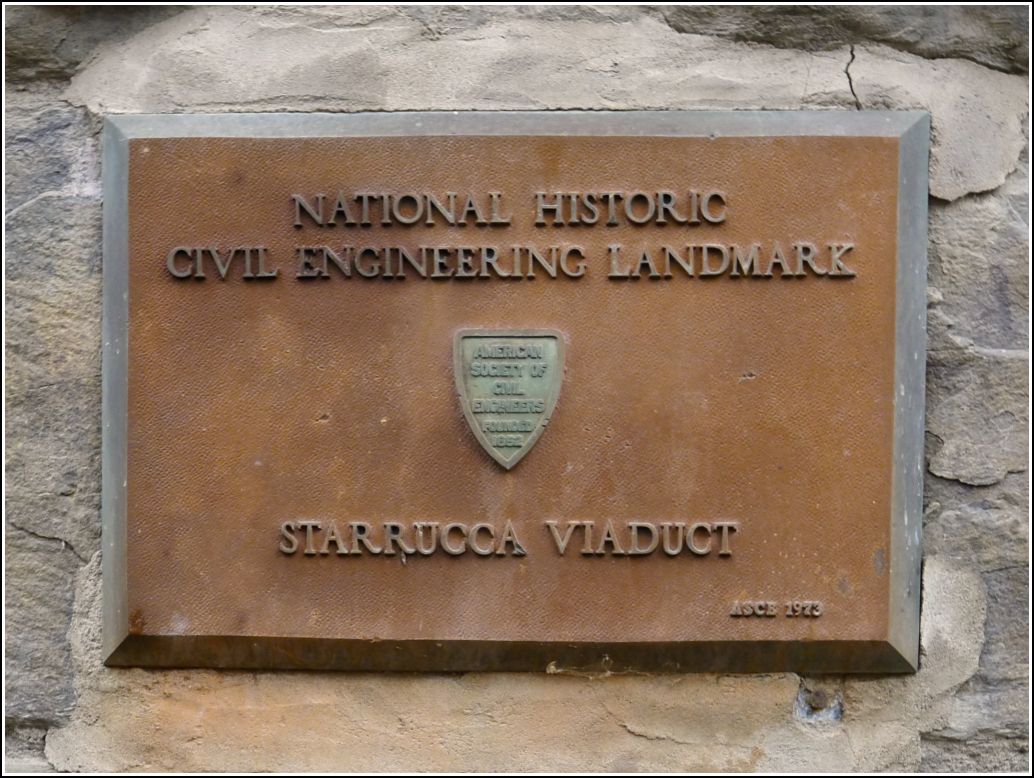
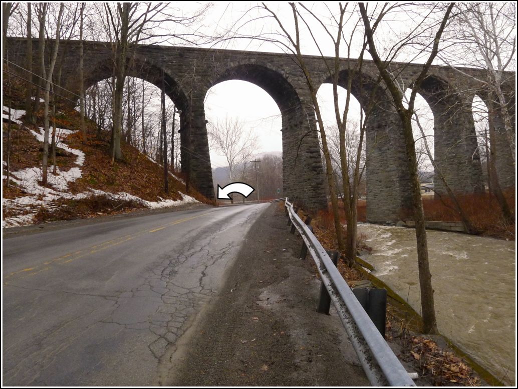
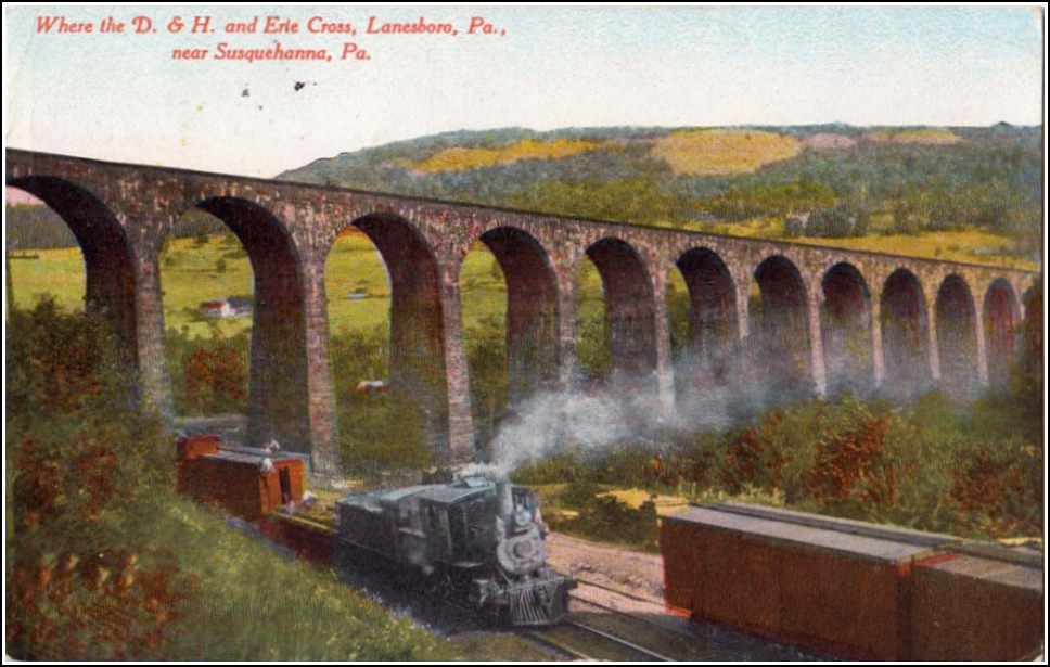
I first recovered this mark over twelve years ago. Rich wasn't with me that day, but he has been interested in seeing the mark and, of course, the viaduct! Dad had the idea to drive by today on our way to Bainbridge (and after having breakfast in Susquehanna). The stone viaduct is still in beautiful shape and quite an impressive landmark. Viaduct Street, which passes through one of the arches, was originally the Delaware & Hudson Railroad right-of-way, as is visible in the early 1900s postcard view. On this bleak, cold morning Rich was content to view the mark from the car as we passed slowly by, but I decided to get out and take a closer look. Meanwhile, Dad drove a little further to find a place where they could turn around safely, and then they returned to pick me up. The disk is still in good condition, although it has suffered slight corrosion.
Updated GPS coordinates have been submitted to NGS.
A report on the condition of this survey mark has been submitted to NGS, along with the following recovery note:
Recovered in good condition as described. Handheld GPS coordinates for the bench mark are 41 57 47.2(N) 075 34 59.9(W).