- Coordinates:
- N 44.31456° W 68.25095°
- Location:
- Elevation:
- Unknown
- Type:
- Boundary Monument
- Setting:
- Pipe Cap
- Year Established:
- Unknown
- Established By:
- National Park Service
- Status:
- Recovered
- Condition:
- Good as of September 11, 2014
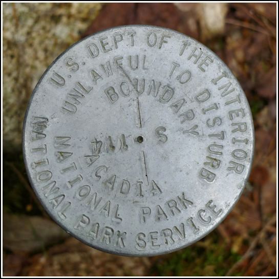
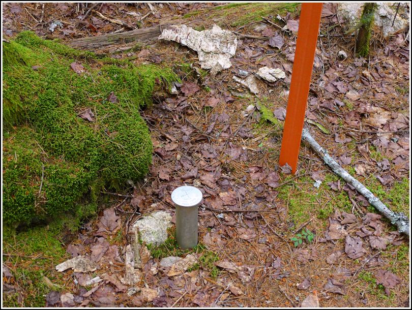
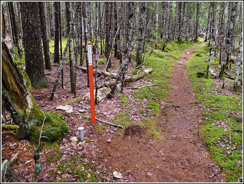
Today was the only day during our 2014 vacation with less than perfect weather. It was still warm and bright overall (and the sun was out for a time while we were at Jordan Pond House), but the day turned misty again when we began our walk along the quiet, serene Seaside Path. This dark, mossy woodland path is a good choice on a misty or drizzly day, anyway. The brown and gold of the fallen leaves contrast with the green shades of moss, and the closeness of the views makes it easier to appreciate the delicate details of the various mosses and miniature fungi. Along the way, we found not just one but three Acadia boundary markers. Like the other NPS markers we've found, no data is publicly available—or at least not that we are aware of. The disk is in good condition and is easy to see as it's just a foot or so west of the trail and is adjacent to a typical bright orange US BOUNDARY NPS witness post.