- Coordinates:
- N 44.392208° W 68.204262°
- Location:
- Elevation:
- Unknown
- Type:
- Chiseled Cross
- Setting:
- Bolt
- Year Established:
- Unknown
- Established By:
- Aquatrak
- Status:
- Recovered
- Condition:
- Good as of September 8, 2014
-
Official Aquatrak Description:
Aquatrak leveling point
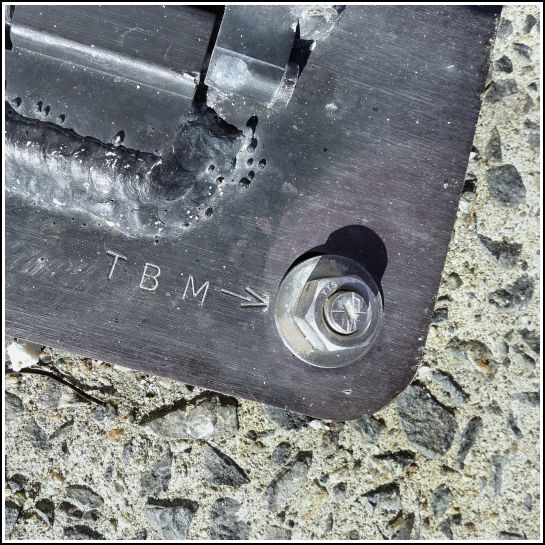
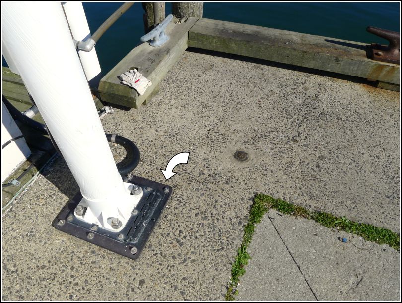
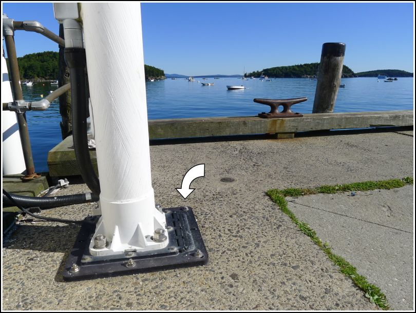
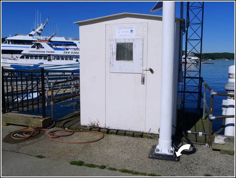
This temporary BM isn't the type of mark I usually bother recovering or documenting, but this one was different enough to make it interesting. It is listed on NOAA's Tides and Currents benchmark data page for Bar Harbor tidal station 841 3320—and we have, over the past several years, found all of the existing benchmarks in the 841 3320 "series."
Although NOAA labels this TBM an "unpublished" bench mark and therefore no data is available, the mark's location appears on the Tides and Currents map for station 841 3320, so Rich and I had enough information to take us to the right area: the end of the municipal pier. Not even knowing just what we were looking for, I just happened to see the large bolts on the mast near the NOAA tide station, looked down, and saw a cross chiseled in the top of one bolt and T.B.M. → stamped next to it. We are quite sure this is the Aquatrak TBM! It is less than two feet away from 841 3320 TIDAL 11.