- Coordinates:
- N 44.36244° W 68.19397°
- Location:
- Elevation:
- Unknown
- Type:
- Boundary Monument
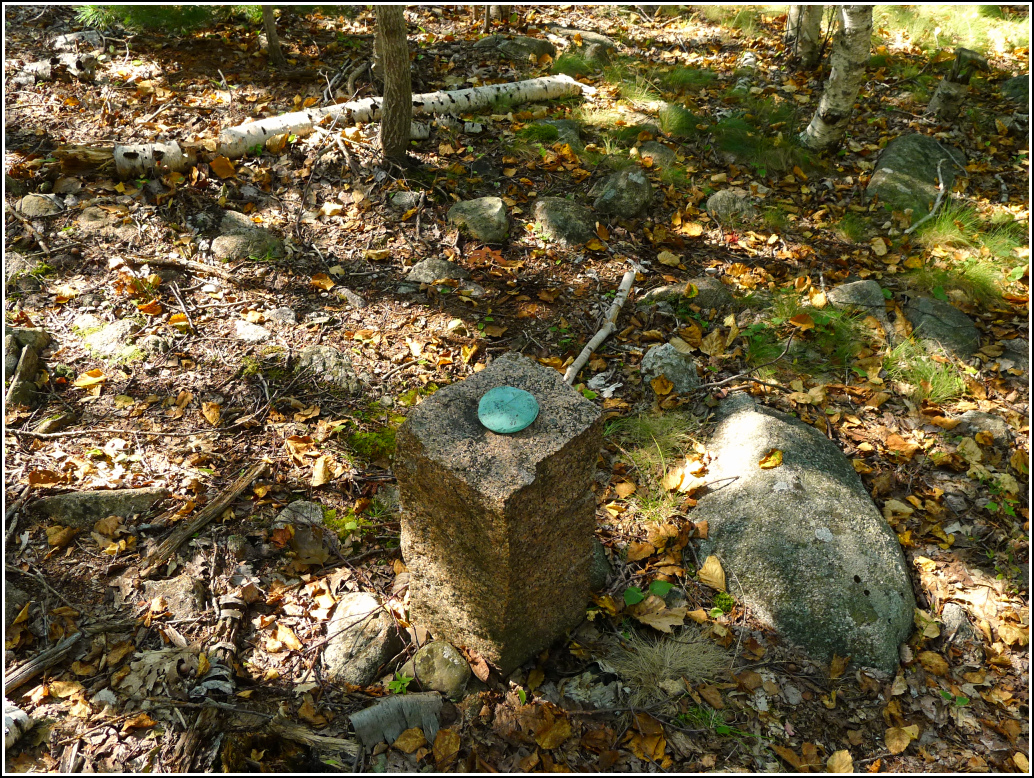
- Setting:
- Granite Post
- Year Established:
- Unknown
- Established By:
- Unknown
- Status:
- Recovered
- Condition:
- Good as of September 17, 2015
George Dorr's Bicycle Path was the first abandoned trail that I recall reading about in Trails of History and thinking I might actually be able to find. Even though we were lured by greater challenges like the Potholes Trail and never searched in earnest for the Bicycle Path, it was the inspiration that led to our deep investigations of the island's trail-building history. This year, encouraged by information posted on the blogs of local trail-hunter J. R. Libby, we decided to give it a try.
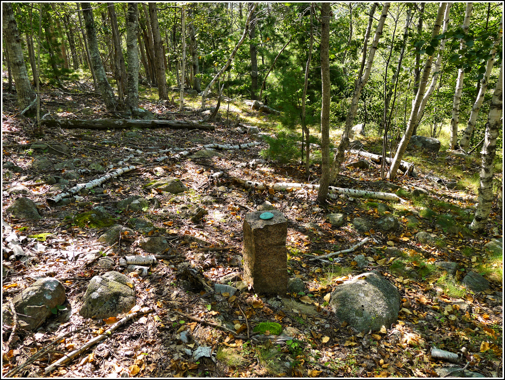
Yesterday's hike took me, Rich, and Dad to the top of Champlain via the Beachcroft Path. After descending from the summit on the Champlain North Ridge Trail, Rich and I headed into the woods near Beaver Dam Pool (also called Bear Brook Pond) to see if we could find any sign of the Bicycle Path. It didn't take long before we spotted a possible cairn, and then the unmistakable signs: pink flagging tape tied around a tree, and a clearly-cut trail heading through the woods on a straight, gentle grade. We had found it!
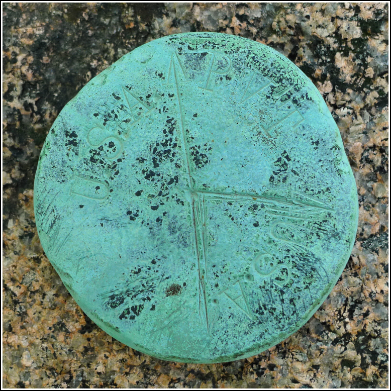
We decided to have mercy on Dad and not drag him along for this particular search. We returned today to see how far we could follow the old trail. Another nice surprise came when I glanced to the left and saw a bright blue-green disk set on top of a granite post. It's very similar in style to the "USA/JDR" boundary markers we've found in various places on the island, but this one simply says "USA/USA/PVT" (it is divided into three sections). The disk and post appear to be in good condition.