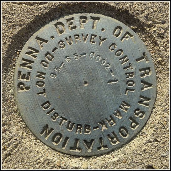
- Coordinates:
- N 41.46290° W 75.85297°
- Location:
- Elevation:
- Unknown
- Type:
- Survey Control Mark
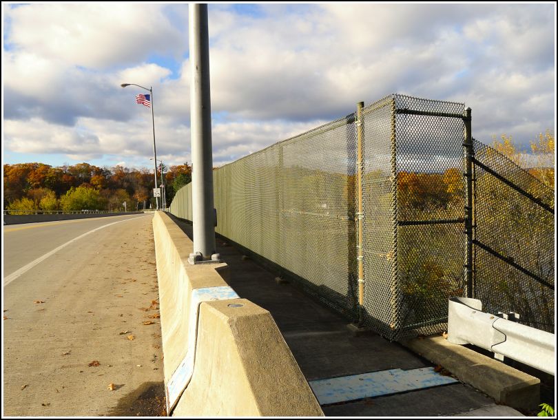
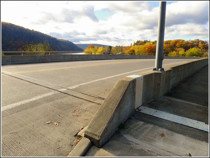
- Setting:
- Bridge Bannister
- Year Established:
- 1995?
- Established By:
- PennDOT
- Status:
- Recovered
- Condition:
- Good as of October 30, 2014
-
Official PennDOT Description:
Unavailable.
There may not be any NGS marks on the Falls bridge, but there are two PennDOT marks! As usual, we didn't know about them in advance, but we knew it was worth a look. I found this disk at the northeastern end of the bridge, set into the end of the north bannister. The bridge was replaced in 1995-1996, so it makes sense that this relatively new PennDOT survey disk was set at that time. It is still in very good condition.