- NGS PID:
- PE0379
- Coordinates:
- N 44.464722° W 68.828333° (estimate)
- Location:
- Elevation:
- 71.99 ft.

- Type:
- Bench Mark Disk
- Setting:
- Boulder
- Year Established:
- 1962
- Established By:
- NGS
- Status:
- Note Entered
- Condition:
- Unknown (Not Found) as of September 5, 2013
- Official Description: NGS Datasheet
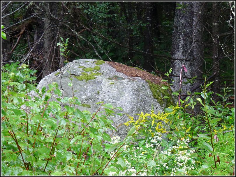
Our first goal for today, our first day of our 2013 Maine vacation, was the recovery of D 147 along Lighthouse Road. It was raining moderately at the time, but that wasn't enough to turn me away. What was, however, was the amount of brush, standing water, and probable poison ivy covering the twenty feet between the road shoulder and the boulder on which the mark is set.
We spotted the disk easily enough from the road (with probably 99% certainty, since we can't actually read the stamping without reaching the mark itself). But we simply weren't willing to hike through the mess it would take to reach it this time. For now we'll mark it as a note, and attempt to come back in drier conditions.