- NGS PID:
- PE1961
- Coordinates:
- N 44.434047° W 68.590877°
- Location:
- Elevation:
- Unknown
- Type:
- Landmark/Intersection Station
- Setting:
- Fire Lookout Tower
- Year Established:
- 1956
- Established By:
- NGS
- Status:
- Recovered
- Condition:
- Destroyed as of September 10, 2014
- Official Description: NGS Datasheet
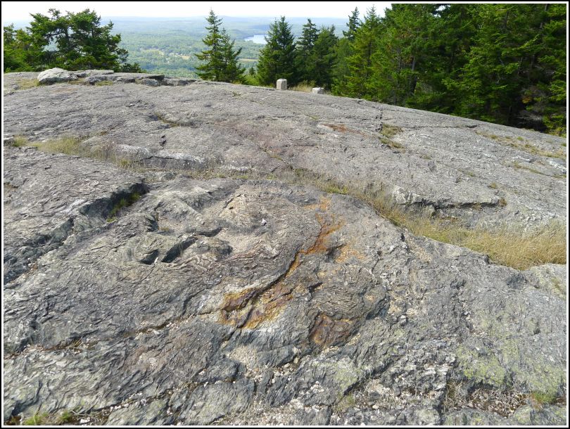
Long before we came to this site, Rich and I knew, from geocachers' reports, that this tower was gone. One of our goals for hiking Blue Hill Mountain today with Dad was to gather the information necessary to submit an official Destroyed report to NGS. (The other goals were to recover BLUE HILL RESET and just to have a great hike!) We accomplished all three and found a bonus geocache as well.
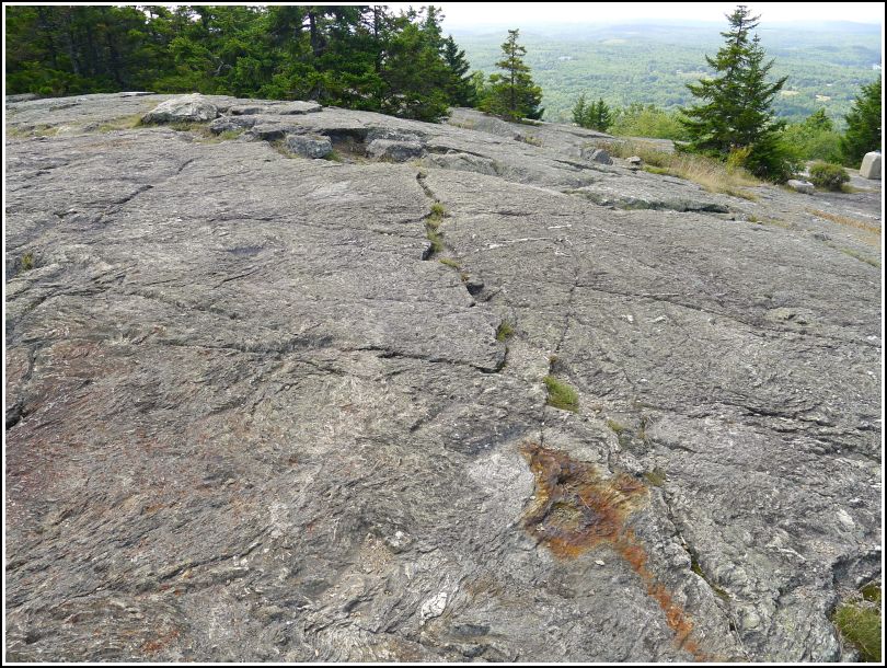
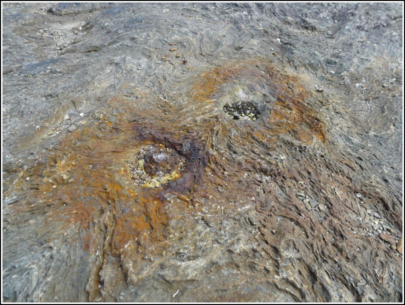
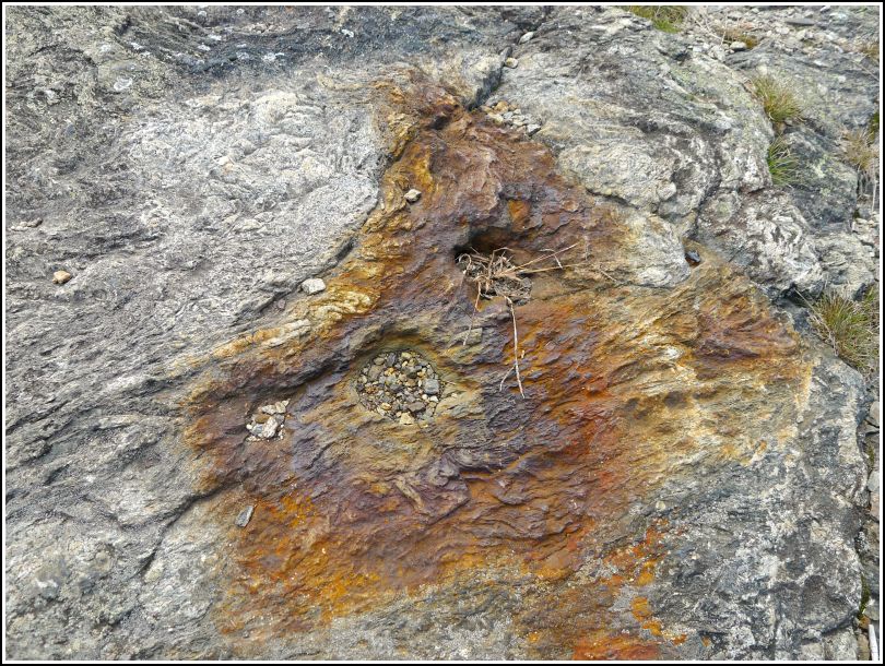
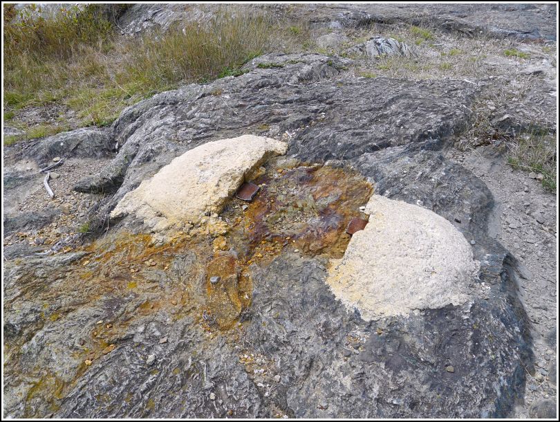
Note that the lookout tower itself was at the site of the rusty spots in the foreground of the overview images. The concrete supports in the background were from the associated ranger cabin, which was removed in 2007. Several geocachers assumed that these concrete supports were instead from the lookout tower and logged them accordingly; however, the adjusted coordinates from the datasheet, as well as the location of RM 3, make it clear which was the site of the fire tower.
This lookout tower is destroyed. It was removed in 2005 (sources: http://www.firelookout.org/lookouts/me/me.htm [#19]; http://www.mainememory.net/artifact/33858 [shows a photo of the tower c. 1950]).